By Winnie Kamau
The ‘African Regional Data Cube’ has been launched today at the Global Partnership for Sustainable Development Data GPSDD‘s inaugural Data for Development festival in the United Kingdom. This new tool harnesses the latest earth observation and satellite technology to help Kenya, Senegal, Sierra Leone, Ghana and Tanzania address food security as well as issues relating to agriculture, deforestation, and water access.
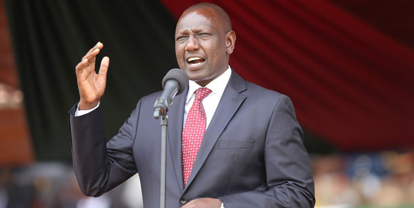
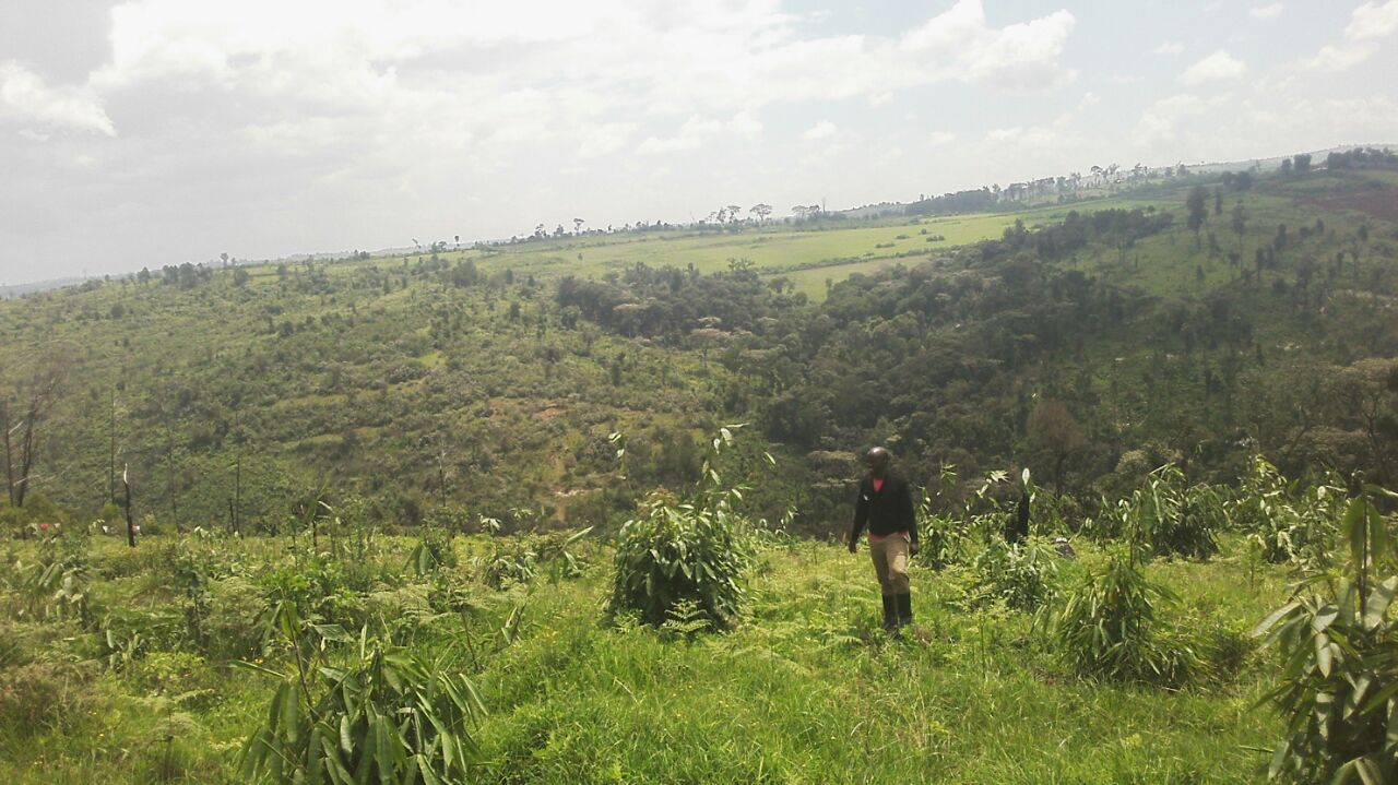
The Deputy President of Kenya, H.E William Ruto said his government will use the data cube to underpin the success food security, a pillar of its ‘Big Four’ priorities alongside manufacturing, universal healthcare and affordable housing. The data cube will allow the government to understand crop distribution, changing seasons and use of agricultural land in rural areas; as well as better protect its forests and water towers.
In a statement read by the Deputy President’s Chief of StaffAmbassadorr Ken Osinde, the Deputy President said “This technology will help us understand month by month how our land is being used so that we can target interventions aimed at improving our actions against climate change, help smallholder farmers and secure sustainable food and water for our citizens”.

Claire Melamed, CEO of the Global Partnership for Sustainable Development Data said “These five countries are in the vanguard of data for sustainable development. With their example, we hope that we can broaden access to the data cube across the continent so more countries can benefit from this fantastic solution. The sky really is the limit when it comes to how data from satellites can help drive sustainable development”
While satellite data is not new, it has traditionally been difficult to access and use, limiting its potential to help governments meet key development challenges. This new tool will help governments, farmers and consumers manage the complex challenges they face in trying to navigate the economic, social and environmental systems on which they depend. Vast quantities of freely available satellite data offer real opportunity to improve agricultural production, food security and access to water.
Government Ministries, National Statistical Agencies, Geographic Institutes, Research Scientists and Civil Society all stand to benefit from this new technology and training and work will soon commence across countries to help national representatives utilize, contribute to and ultimately benefit from the data cube.
The data cube was developed by the Committee on Earth Observation Satellite (CEOS) in partnership with the Group on Earth Observations, Amazon Web Services and Strathmore University in Kenya.


